

I am an artist and not a trained cartographer. Because my work or message is often about the environment, geopolitical issues, water, animal and human rights, I look for how I might highlight particular issues, and then draw a word picture to go with the visual message of the map. So my map-making process begins with language, conversation. I like to banter about the idea, and before I am consciously aware (but it seems to me after I realize my map conceptually) the feel of the map begins to emerge, and then the map begins to draw itself, but not, of course, without work.
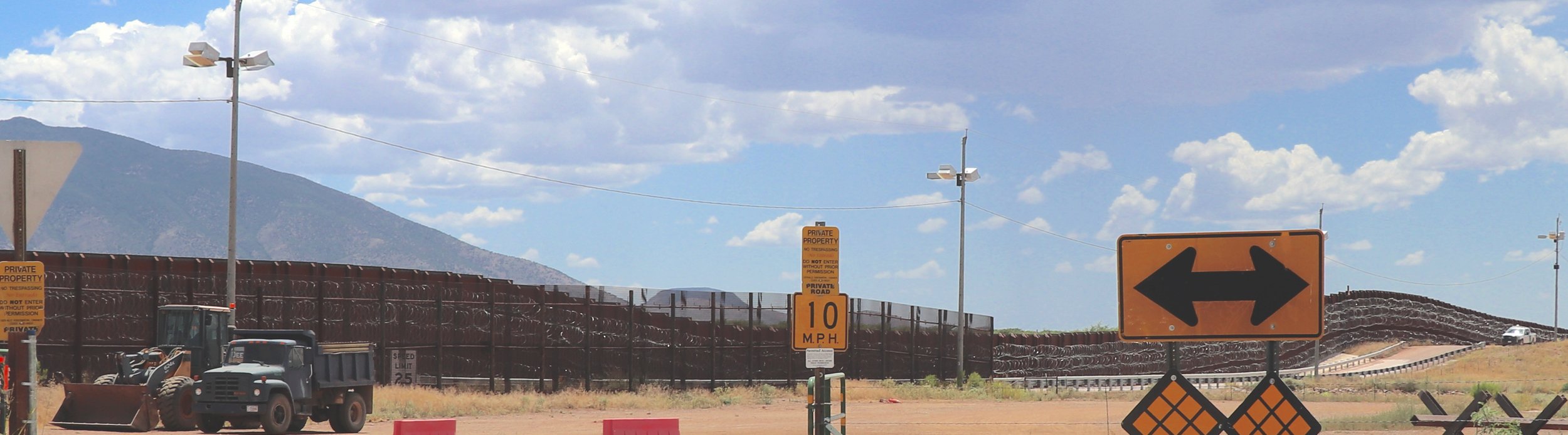
Southern U.S. border wall
I spend much time researching my idea, reading, and interviewing. I encourage others to tell me the shape my idea might take. All decisions are mine, so I pick and choose, letting the possibilities sway me. I understand my concept, the big idea, and the concept directs the rest of my map.

Camp Naco
I like to put pencil to paper, sketch, list the points or issues that I want to highlight or address. I especially want to understand my personal message, even if unwritten. I walk, hike, or drive with direction, with an area or idea in mind. I try not to focus on what I might find. When I realize I have found what I am looking for, I have arrived. I collect that information, and keep on looking until I have what I need to explain my map.
I then begin the search for what I consider a good base map for my reminder to the reader of ‘what is here now.’

Beginning of map idea, Naco to Bisbee
The art part of map making begins. I take my camera to the area I am contemplating mapping. If I happen to get good photos, or at least interesting images, I might use them to build the points on the map I want specifically highlighted; like a quilt, or a collage, I add them to the top of the base map, and as layers. This can sometimes take mad computer skills; for that, I get the help I need.

Trailer shelters
I want the language to be as clear as I am capable, and often that requires an editor. A good editor can help flesh out a thought, knows a good story, and can help clarify for the reader and the writer. I want the map to answer all of the questions I want answered and I want to be able to easily prove my map is honest. Maps are serious for me. I want the proof of my map and some of the questions I hope are asked to be answered when readers see the map.
I search through my images, collecting a very few of the many that helped direct my map. I give words to each of the photos that will be shown. The final photo in my process journey matters, it decides the direction of the map. I choose to show the vultures’ home in a cottonwood tree as flexible, migrating as trees and birds do when faced with human interference.

The Cottonwood Tree in Bisbee